

The National Weather Service is monitoring the potential for severe weather early Sunday morning, as a line of thunderstorms is forecast to move across eastern North Carolina.
The entire area is under a Marginal Risk for severe weather with the greatest concern for severe thunderstorms over the southern coastal areas including Hatteras and Ocracoke islands, according to forecasters at the Newport/Morehead City weather office.
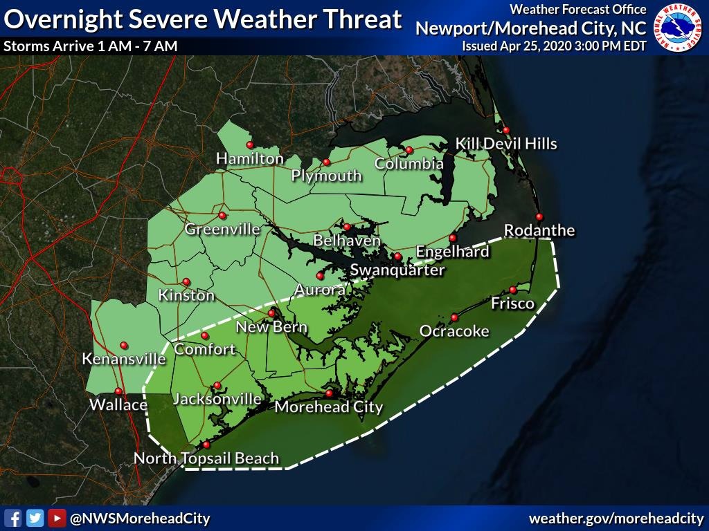
Damaging wind gusts and small hail are possible, and an isolated tornado cannot be ruled out between 1 a.m. and 7 a.m.
The timing of the event as overnight severe weather can pose additional risks, the weather service said, because most people are asleep and can be caught off guard.