

The Outer Banks missed out on the first wintry blast to hit northeastern North Carolina in more than two years, with just a few snow squalls that ended around daybreak.
But it is still windy and cold, with high surf and blowing sand. In other words, just a typical Friday in Feburary on the beach.
It's cold and blowing at #NoSnOBX, but that's it. #ncwx pic.twitter.com/cvxSOo9AWn
— Sam Walker OBX Today??? (@SamWalkerOBX) February 21, 2020
A peak wind gust of 53 mph was recorded at the Kitty Hawk Kites Flight School at Jockey’s Ridge State Park in Nags Head.
A few scattered power outages have been reported, with around 150 customers in the dark this morning in Kitty Hawk. Schools across the region cancelled classes for students on Friday as a precaution.
Snowing on Hatteras Island. Nasty day out here today #OBX #hatterasisland #capehatteras #buxton #weather #wx #obxwx #wxobx #ncwx #wxnc pic.twitter.com/QYvoX2qo62
— Brian Wharton (@dafoink) February 21, 2020
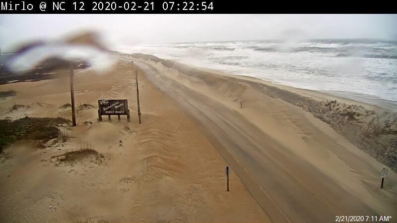
Those who have driven along N.C. 12 between Oregon Inlet and Rodanthe this morning have reported just sand blowing across the road with areas of standing rain water. No overwash was reported with this morning’s high tide which was at 6 a.m.
Most of the N.C. Ferry System is not running this morning due to the current conditions.
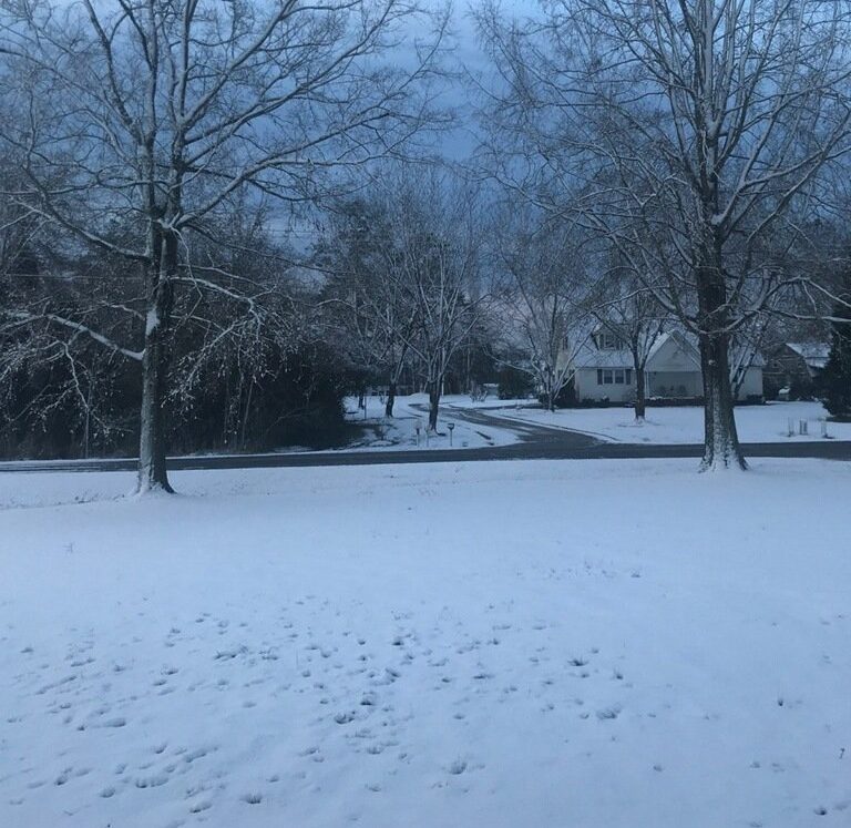
Further inland, reports are coming in that between one and three inches of snow accumulated in some spots with the fast-moving storm system.
Icy conditions have been reported in northern Currituck County, as temperatures have dropped during the morning commute.
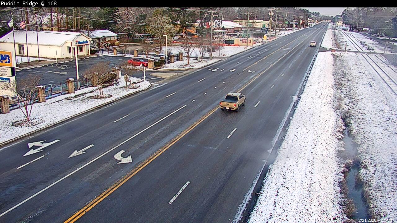
A tractor-trailer jacknifed south of the railroad tracks in Moyock on N.C. 168. That crash has since been cleared.
Travel to interior sections of North Carolina could be treacherous tonight, as temperatures are forecast to drop below freezing after skies clear later today.
Cherry Branch’s boat decks are sitting about a foot above
the road way and the waters are continuing to rise. This north north east wind is
driving Pamlico sound water down on top of us. We won’t be able to run
until the River levels drop. pic.twitter.com/LI78ZjekbD— NCFerryCherryBranch (@NCFerryCHBranch) February 21, 2020