
For updated traffic conditions and cameras from across North Carolina, visit https://drivenc.gov/
The N.C. Department of Transportation maintains all of the cameras below. Some images may not be available due to data drop outs.
Currituck mainland
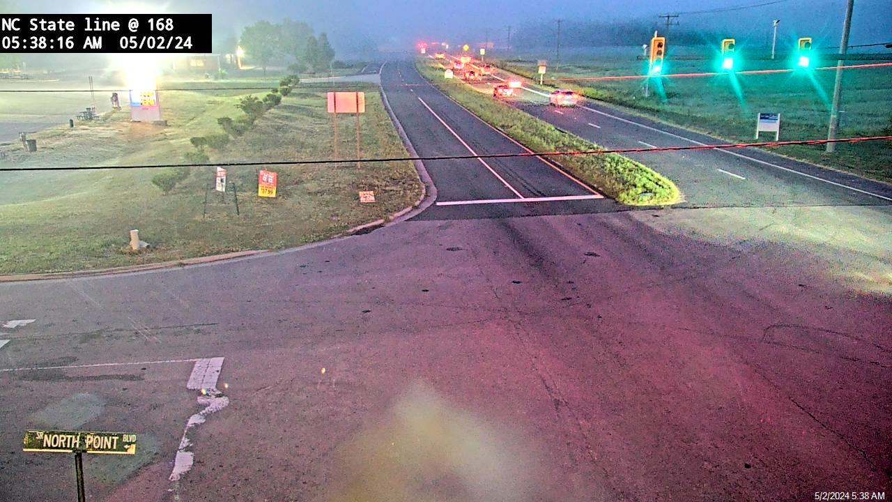
N.C. 168 at Virginia state line, Moyock
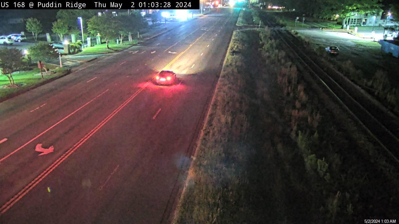
N.C. 168 at Pudding Ridge Road, Moyock
N.C. 168 at Food Lion, Moyock
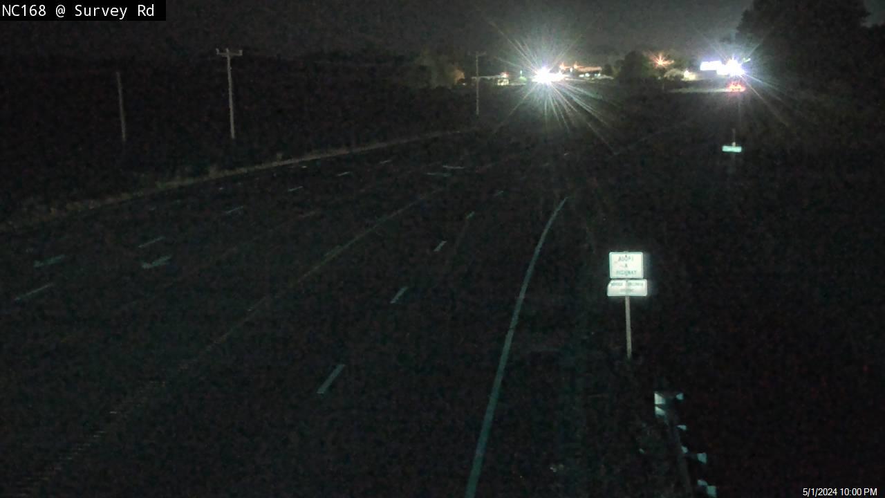
N.C. 168 at Survey Road, Moyock
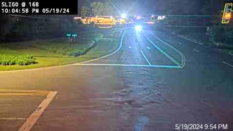
N.C. 168/N.C. 34, Sligo
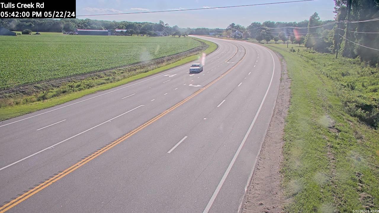
N.C. 168 at Tulls Creek Road, Currituck
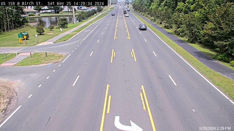
U.S. 158/N.C. 168, Barco

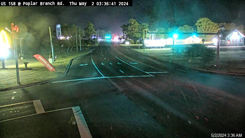
U.S. 158 at Poplar Branch Road, Grandy
U.S. 158, Powells Point

Wright Memorial Bridge west approach
Kitty Hawk
Wright Memorial Bridge east approach/Barlow Lane/Martin’s Point

U.S. 158 at Duck Woods
U.S. 158/N.C. 12 Kitty Hawk

U.S. 158 at Kitty Hawk Road

Southern Shores
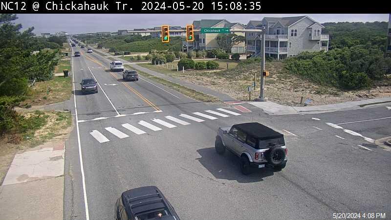
N.C. 12 at Chicahauk Trail, Southern Shores
N.C. 12 at Sea Oats Trail, Southern Shores

N.C. 12 at Hillcrest Drive, Southern Shores

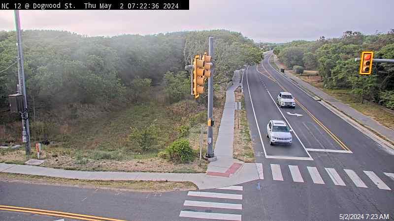
N.C. 12 at East Dogwood Trail, Southern Shores
Duck
Town of Duck live cameras can be found at https://www.townofduck.com/live-traffic-cameras/
Corolla
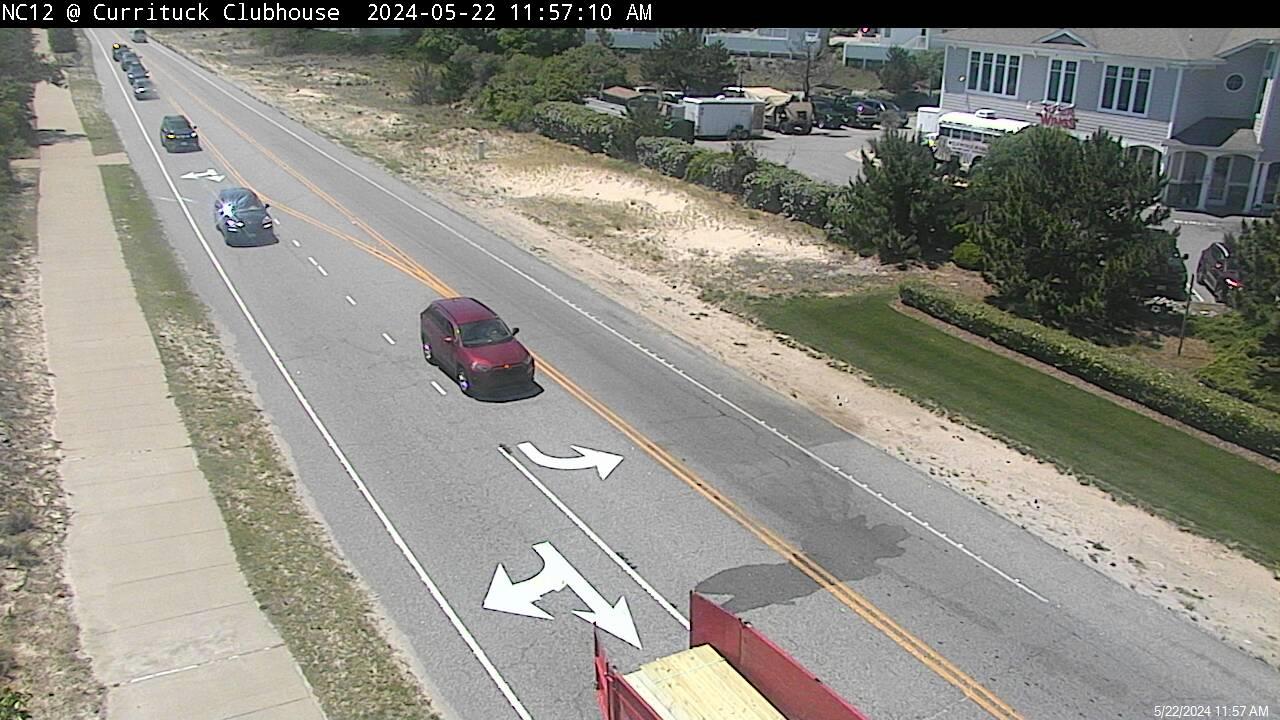
N.C. 12 at Currituck Club, Corolla
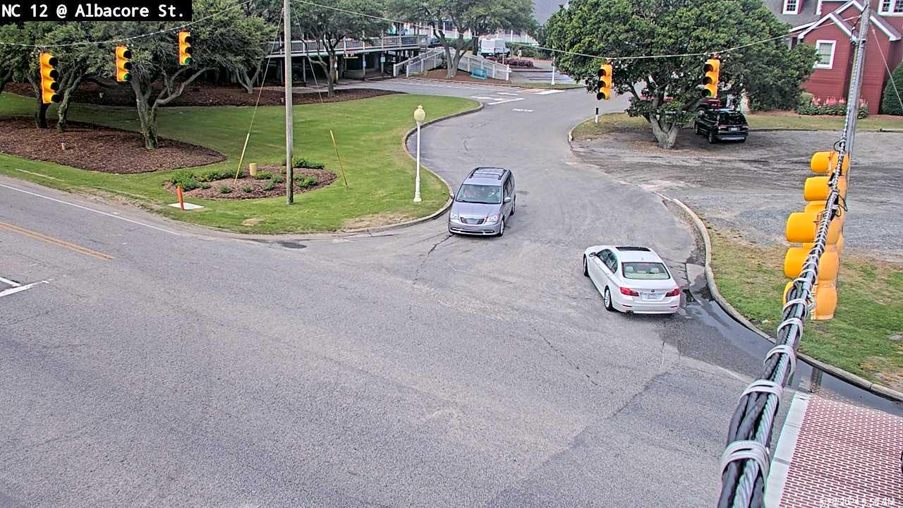
N.C. 12 at Albacore/Monteray Shores, Corolla
Kill Devil Hills
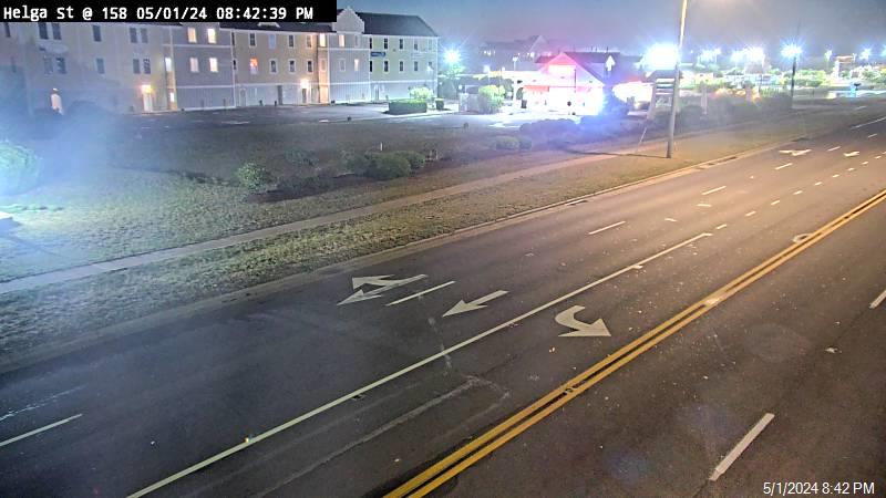
U.S. 158 at Helga Street
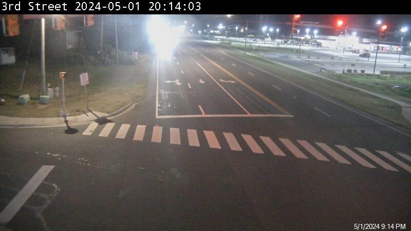
U.S. 158 at Third Street
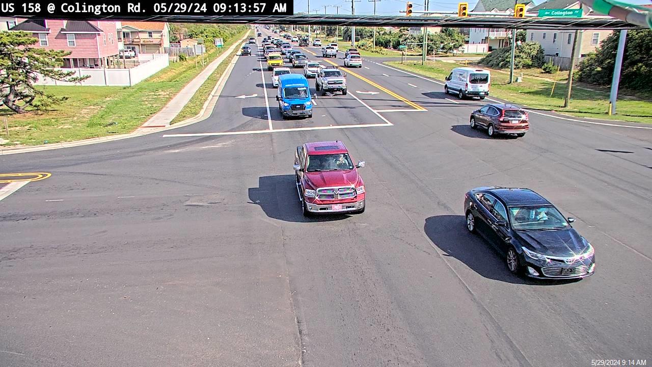
U.S. 158 at Colington Road
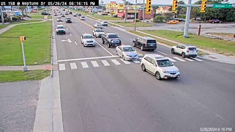
U.S. 158 at Neptune Drive (French Fry Alley)
Nags Head
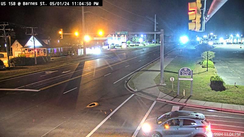
U.S. 158 at Barnes Street, Nags Head
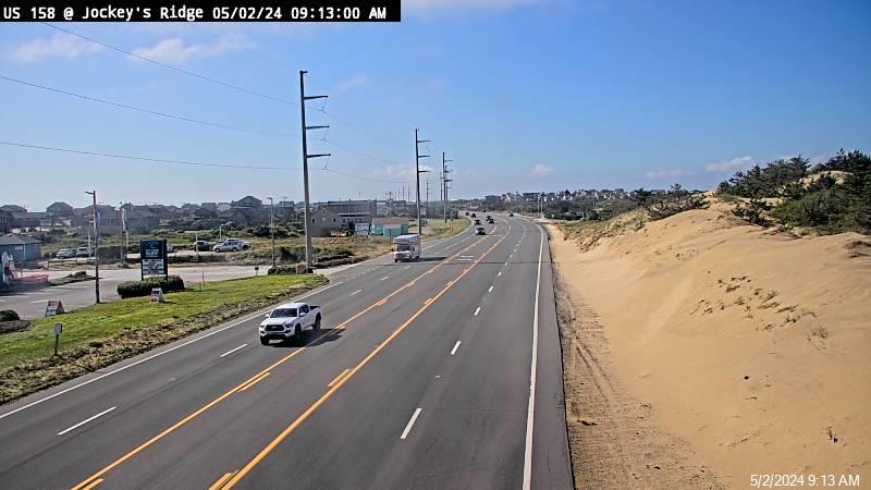
U.S. 158 at Jockey’s Ridge
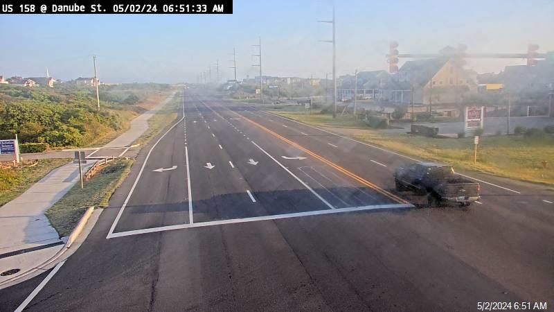
U.S. 158 at Danube Street
U.S. 158 at Outer Banks Mall

U.S. 158 at Gray Eagle/Whalebone Junction, Nags Head

U.S. 64 Nags Head Causeway
Roanoke Island/Dare mainland/Washington County
U.S. 64 at Washington Baum Bridge Project (Pirates Cove)
U.S. 64/N.C. 345 Midway intersection
Queen Elizabeth Avenue, Downtown Manteo
U.S. 64, Alligator River Bridge

U.S. 64, milepost 552
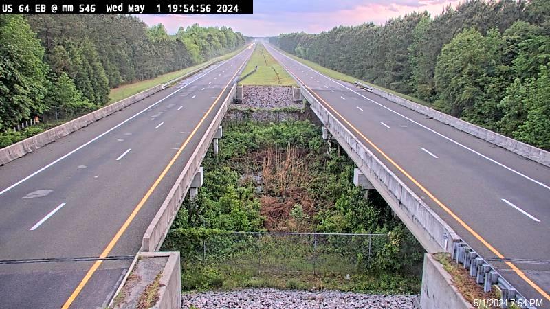
U.S. 64, milepost 546
Hatteras Island
Basnight Bridge South Landing
Pea Island Canal Zone
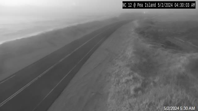
Pea Island Visitor Center
Capt. William Etheridge Bridge, Pea Island
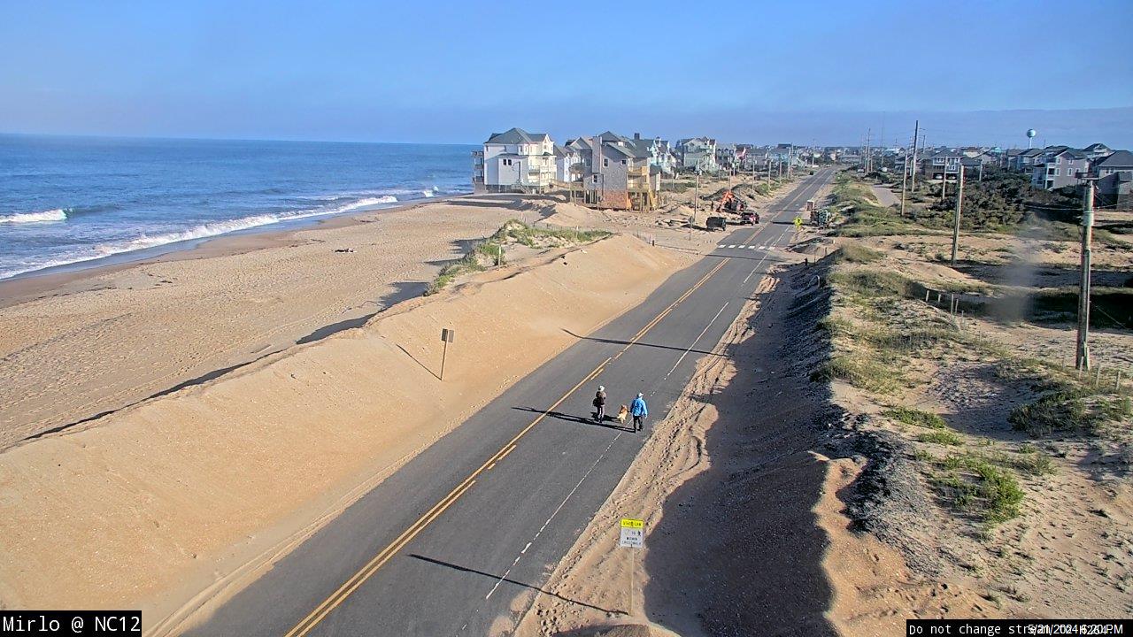
Mirlo Beach
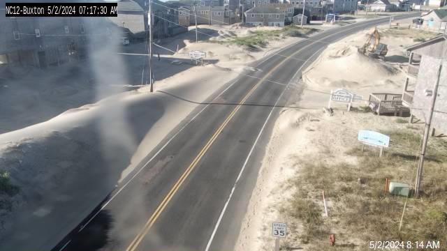
Buxton motels
Sandy Bay/Isabel’s Inlet north of Hatteras village

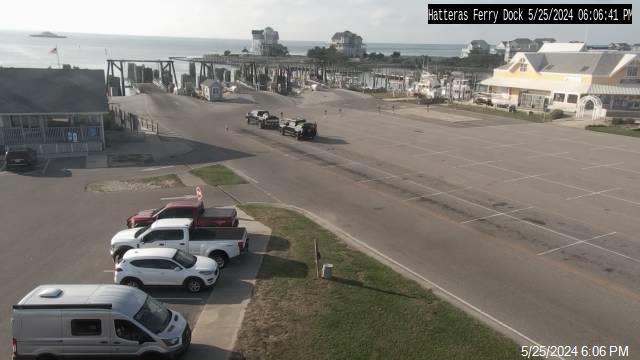
Hatteras Inlet north ferry dock
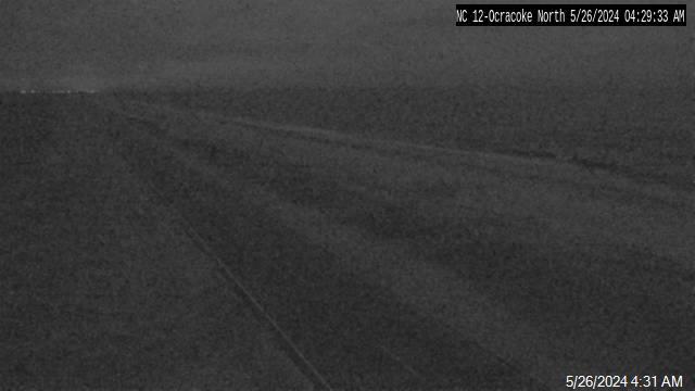
Ocracoke
Hatteras Inlet south ferry dock
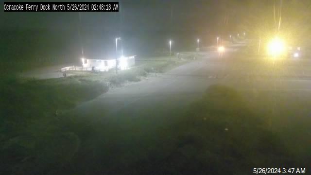
Ocracoke N.C. 12 (north)
Ocracoke N.C. 12 (south)
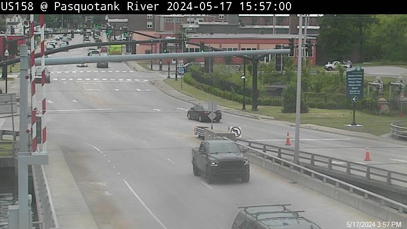
Elizabeth City
Pasquotank River Bridge, Elizabeth City
Elizabeth Street (US 158)/North Road Street (US 17 Business), Elizabeth City
Elizabeth Street (US 158)/Hughes Blvd. (US 17), Elizabeth City
Main Street/Road Street, Elizabeth City
Ehringhaus Street/Water Street, Elizabeth City
Ehringhaus Street/South Road Street, Elizabeth City
Ehringhaus Street/Selden Street, Elizabeth City
Ehringhaus Street/Griffin Street, Elizabeth City
Ehringhaus Street/Halstead Boulevard, Elizabeth City
Hughes Boulevard/Ehringhaus Street/Oak Stump Road, Elizabeth City
Hughes Boulevard/Main Street, Elizabeth City
Hughes Boulevard/North Road Street/Griggs Street, Elizabeth City

Hughes Boulevard/Halstead Boulevard, Elizabeth City
Halstead Boulevard Ext./Forest Park Road, Elizabeth City
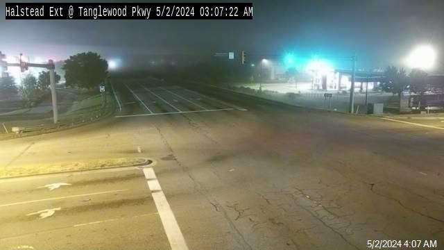
Halstead Boulevard Ext./Tanglewood Parkway, Elizabeth City
Halstead Blvd./Roanoke Ave./Peartree Rd., Elizabeth City

Halstead Blvd./Weeksville Road/Peartree Road, Elizabeth City

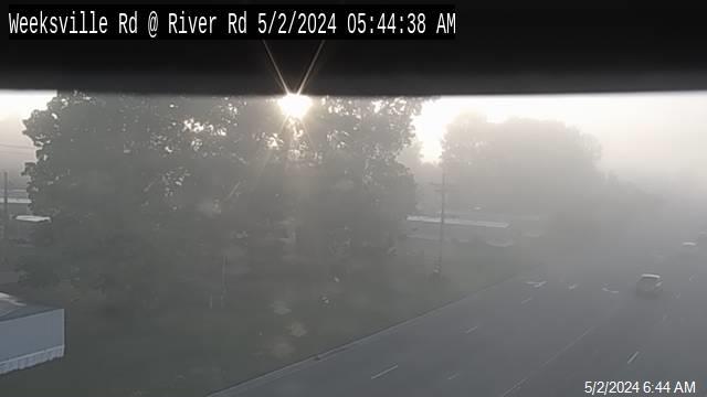
Weeksville Road/River Road, Elizabeth City
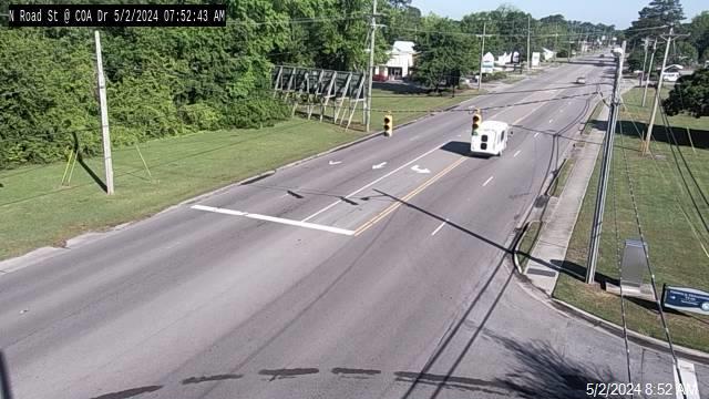
North Road Street at College of the Albemarle, Elizabeth City
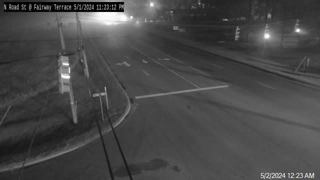
North Road Street/Fairway Terrace (Pine Lakes), Elizabeth City
Ehringhaus Street/Griffin Street, Elizabeth City